3D Terms
H
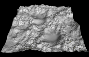
Heightmap
A heightmap or heightfield is a raster image used mainly as Discrete Global Grid in secondary elevation modeling. Each pixel stores values, such as surface elevation data. A heightmap can be used in bump mapping to calculate where this 3D data would create shadow in a material, in displacement mapping to displace the actual geometric position of points over the textured surface, or for terrain where the heightmap is converted into a 3D mesh.